Kiryakov Architekti← Projects
loading model…
Drag to rotate · Ctrl + wheel to zoom Building
Public · Stara Zagora · 2014–2019

Ayazmoto Park

Location
Stara Zagora, Metropolitan Metodiy Kusev Park
Years
design: working design 11.2014
Status
built
The office's work
working design, Architecture discipline
Type
Ayazmoto Park — park design, landscaping and improvement of the physical environment, reconstruction
Plot area
3,200,000 m²
Client
Stara Zagora Municipality

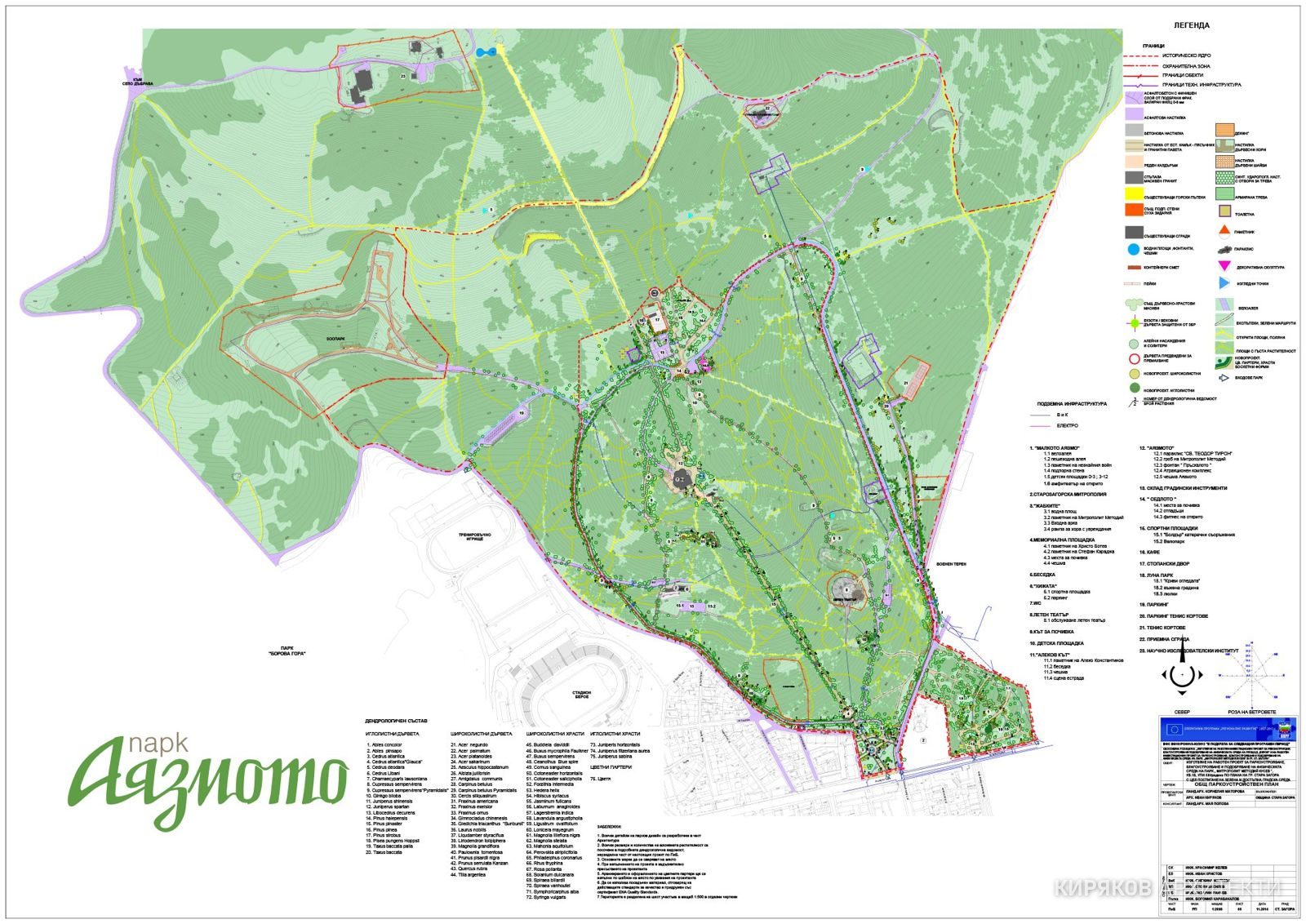
Metropolitan Metodiy Kusev Park, known as Ayazmoto, was created from 1895 on the initiative of Metropolitan Metodiy Kusevich on the southern slope of Sarnena Sredna Gora and is today a monument of landscape art of national importance. The working design for park design, landscaping and improvement of the physical environment was prepared for Stara Zagora Municipality under the Operational Programme “Regional Development” (OPRR) 2007–2013, with the aim of a green and accessible urban environment. The park is divided into functional zones — for social contact, quiet recreation, cultural and historical heritage, sport and attractions, children's areas, eco-trails and cycle paths with an accessible route.

Ayazmoto Park
Ayazmoto Park

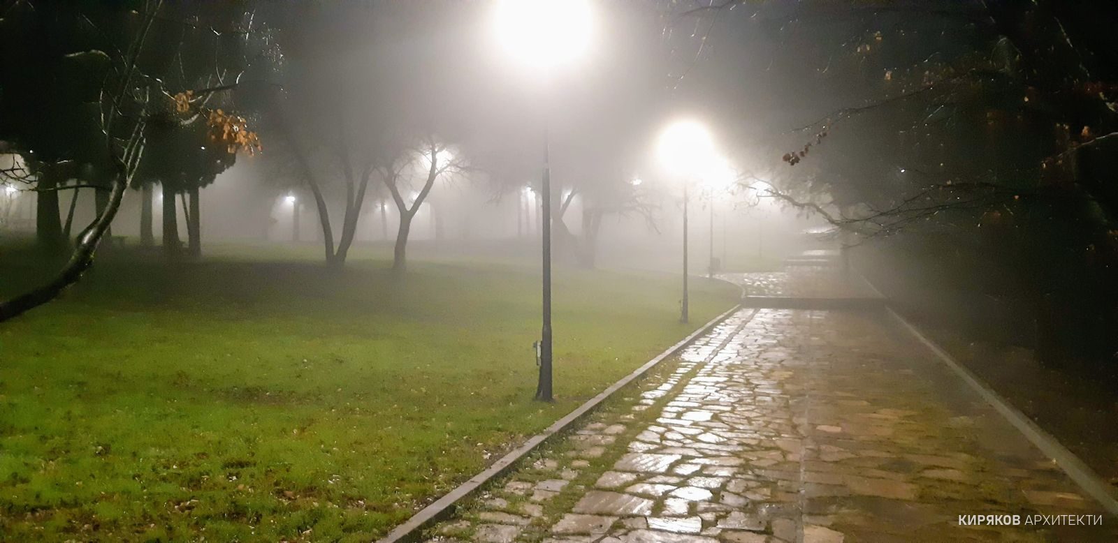
The project provides for the restoration of the paths and squares with authentic materials — split stone slabs, granite setts and kerbs, restoration of the “Zhabkite” (Frogs) fountain, the fountains along the central avenue and the rose pergola, renewal of the playgrounds and new park furniture designed specifically for the park. Automatic irrigation systems are provided in the busiest areas, and characteristic historical views are restored.

Ayazmoto Park
Ayazmoto Park
Ayazmoto Park
Ayazmoto Park
Ayazmoto Park
Ayazmoto Park
Ayazmoto Park
Ayazmoto Park
Ayazmoto Park
Ayazmoto Park
Ayazmoto Park
Ayazmoto Park
Ayazmoto Park
Ayazmoto Park
Ayazmoto Park
Ayazmoto Park
Ayazmoto Park
Ayazmoto Park
Ayazmoto Park
Ayazmoto Park

How it is made

From Archicad

The model is exported from Archicad as IFC and lightened for the web: merged meshes, lower precision, no internal properties, and a watermark.

In the browser

Our own converter reads the IFC file and records every element with its Archicad ID, storey, layer, materials and properties. Everything around the building is cropped to its bounding box.

The data

Areas, element counts and materials come from the model. Live readings are simulated until the building has connected sensors. The sun is calculated for the actual site coordinates.